Commercial Roofing Services

Local weather advisory
The National Weather Service has issued a coastal flood advisory covering Torrance. Heavy rain and drainage loading can expose roof leaks, blocked drains, and ponding water. This is a weather exposure advisory; it does not establish damage to a specific roof.
Do not access a roof during hazardous weather. Protect people first, avoid water near electrical equipment, and request roofing help when conditions permit.
National Weather Service · Updated Oct 27, 2026, 1:54 PM UTC

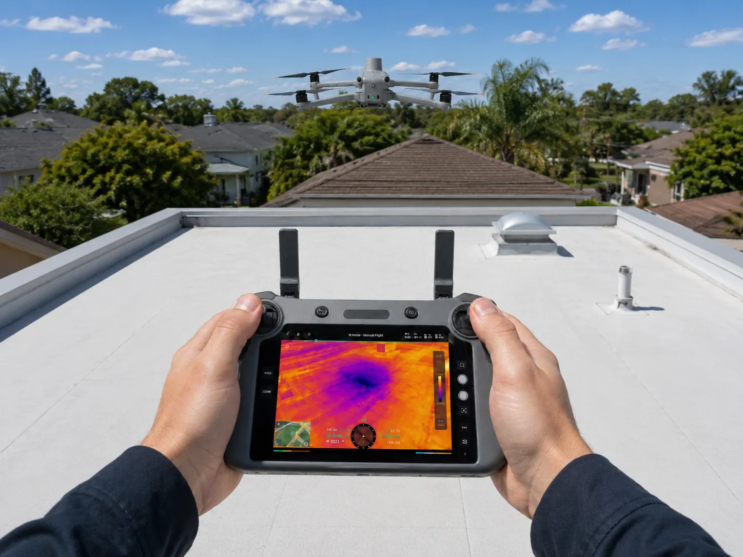
Plan drone roof inspection in Torrance with defined imaging coverage, located detail flags and a clear path to hands-on construction assessment.
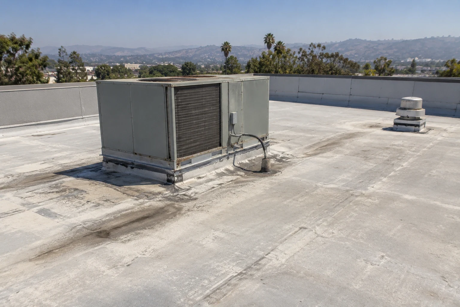
A rooftop equipment change during an acquisition review in Torrance, CA can leave the asset manager needing an overview before assigning hands-on examination. Aerial imagery helps relate equipment, roof sections and visible detail concerns to one another. We define the imaging purpose and required coverage first, then plan a suitable flight or another capture method. The resulting image set supports location and comparison while retaining its limits as a view of accessible surfaces.
An aerial overview directs inspection. It does not establish the condition of concealed layers.
A proposed flight requires a site-specific operating review. The responsible operator checks applicable airspace, operational rules, property permissions and any restrictions affecting the planned location. Those requirements depend on the actual mission and current conditions; a nearby airport name alone does not establish the permissions needed. We keep the accepted capture scope separate from an assumption that every proposed flight can proceed.
Takeoff and landing areas, public access, equipment hazards and handling conditions influence the plan. Wind, cloud, glare and shadows can limit useful imagery. A flight may need rescheduling, reduced coverage or another inspection method. The delivery identifies coverage that was achieved so a cancelled pass or obstructed detail cannot disappear into a complete-looking roof drawing.
The aircraft flies a grid over the roof with enough overlap between frames to stitch them into a single plan view. The image review follows the agreed inspection scope and flags areas that need a closer look. Three kinds of images are collected, and each answers a different question.
Lighting matters. Low sun can create long shadows that hide detail, while a hard midday sun on a bright membrane washes out seams. We choose the flight time for the surface in front of us.
A stitched image can provide a working overview when capture geometry and image quality support it. We relate visible drains, curbs and suspect details to understandable roof references, then link flags to the original images. Distortion, obscured areas and uncertain scale remain identified. Measurements intended for construction need appropriate validation rather than being treated as exact because they came from a stitched picture.
Repeat imagery can support roof asset management when dates, coverage and capture conditions are comparable. The asset manager can examine visible changes and direct further inspection. Apparent differences caused by lighting or image angle receive consideration before they are described as deterioration. The overview becomes useful through that interpretation, not through automatic area calculations.
A stain, dark band or discolored edge can indicate a detail worth examining, but its cause remains uncertain from altitude. We record the image position and describe what is visible rather than assigning corrosion, moisture or loss of attachment from color alone. Shadow and surface contamination can produce similar appearances. A clear flag names the follow-up question and the component to be examined.
Hands-on assessment can then evaluate an accessible seam, receiving metal or attachment. Where moisture is suspected, a suitable survey investigates the assembly separately. This sequence keeps overview imagery from becoming a material diagnosis while preserving its useful contribution: showing how suspect details relate to the roof portion and surrounding equipment.
The Torrance Industrial Area 2021 Phase II account describes planned industrial development. That context may help identify a property under review, while the imaging scope still follows its current footprint and actual roof access. Development floor area does not become measured roof area, and a historical completion target does not establish the age of its present membrane.
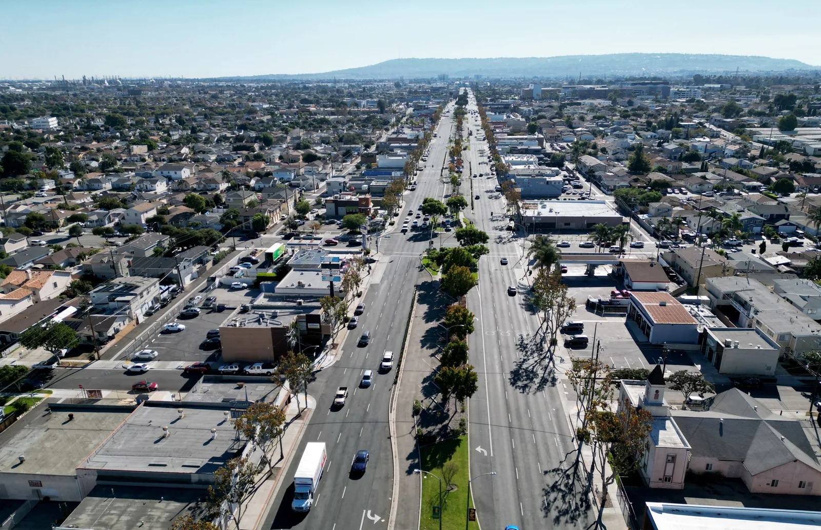
Del Amo Fashion Center provides a retail reference at its Carson Street location. For a property near the Hawthorne Boulevard Corridor, capture planning must account for the actual site layout and permitted operating conditions. An aerial overview of a distribution center roof also requires the assigned coverage to distinguish roof surfaces from equipment or other obstructions.
The final delivery is a single bundle: the stitched plan, the numbered fixtures, the flagged areas with their images, applicable operating documentation and the date and weather of the flight. A written summary sorts the flags into those that need a hand inspection, those that call for a repair and those that are simply monitored.
That summary leads naturally to the next step. A hands-on inspection verifies the flagged areas, an infrared moisture survey investigates suspected concealed moisture under suitable conditions, and a due diligence survey uses the same imagery for an acquisition file.
A drone survey can document broad roof areas quickly, but the flight plan needs site approval, weather limits and a clear relationship to the owner's question. Confirm airspace, people below, sensitive equipment and any restriction on recording imagery before launch. Use overlapping views and stable reference points, then map each flagged condition to a roof zone that a ground inspection can verify. Aerial imagery does not establish membrane adhesion, moisture depth or hidden deck condition. State where resolution or obstruction limits the review and recommend closer examination only for identified areas. Deliver original images with a simple index so maintenance staff can find the relevant detail later.
The overview can identify visible geometry and candidate details for assessment, but it cannot probe seams or examine concealed layers. We state what imagery established and which budget questions remain dependent on direct examination. A preliminary allowance can carry those questions separately. Where attachment, moisture or deck condition affects the construction choice, the imaging scope should lead to an appropriate further assessment.
The responsible operator evaluates current flight requirements for the actual mission, together with site permission and restrictions. We confirm that review before treating capture as scheduled work. Some proposed coverage may be unavailable or need another method. The asset manager receives the resulting scope and limits instead of an assurance that authorization follows automatically from a roof inspection request.
A useful set includes the overview, original images and a flag list tied to identifiable roof positions. We describe the image date, achieved coverage and any uncertainty in scale or location. The receiving team can then connect a flag to a follow-up inspection area. File format and measurement needs are agreed for the assignment, rather than assuming every viewer has the same tools.
Coverage, viewpoint and lighting need comparison before a visible difference is called damage. We use identifiable roof features to relate the images and examine the suspected change against original frames. Obstruction or glare may prevent a useful conclusion. The report keeps that limitation visible and recommends direct examination where the apparent difference could change a repair or capital decision.
Their suitability depends on capture geometry, scale control and the precision required for the work. We describe image-derived dimensions as provisional where construction measurement has not been established. Receiving details, slopes and obscured areas may need direct measurement. A useful budget drawing can still direct estimating, while final quantities remain connected to the method capable of supporting them.